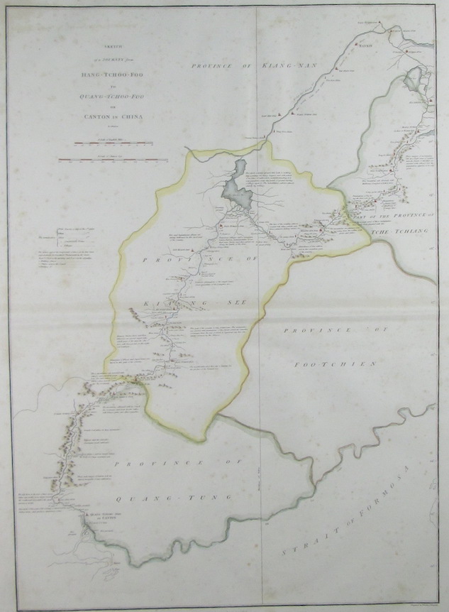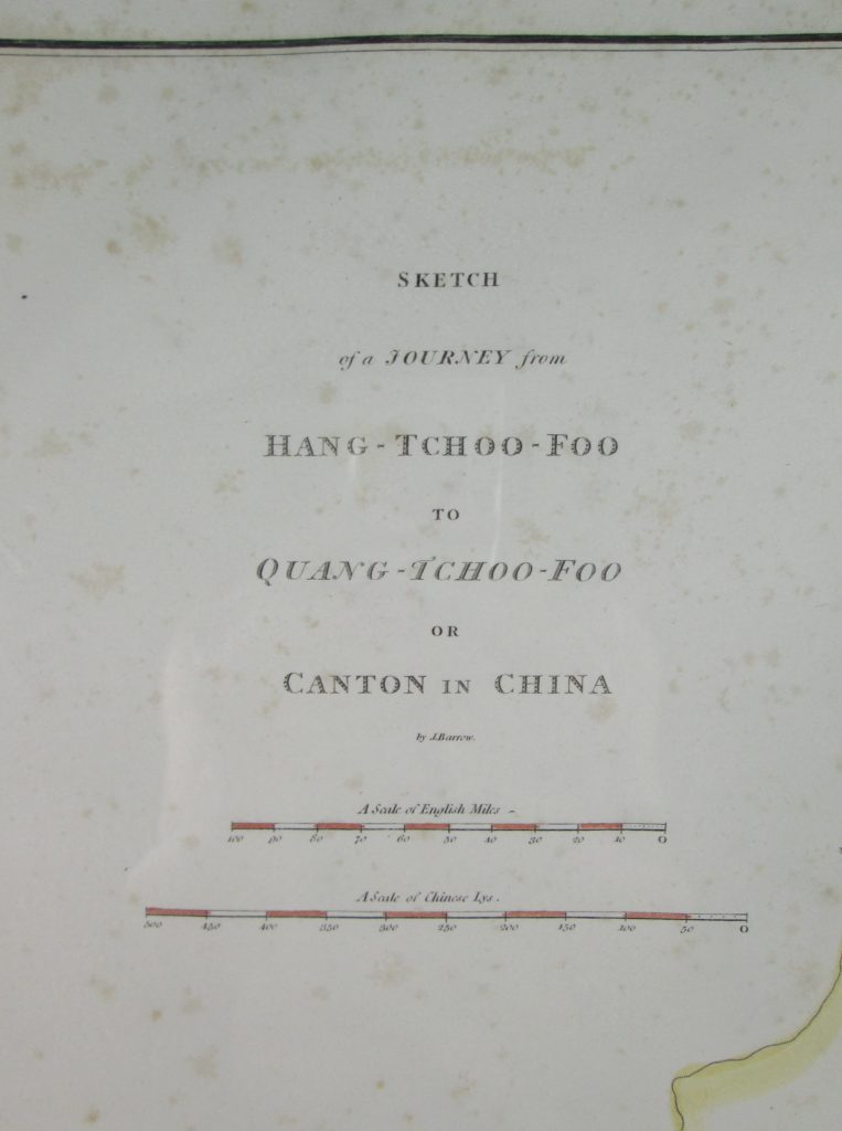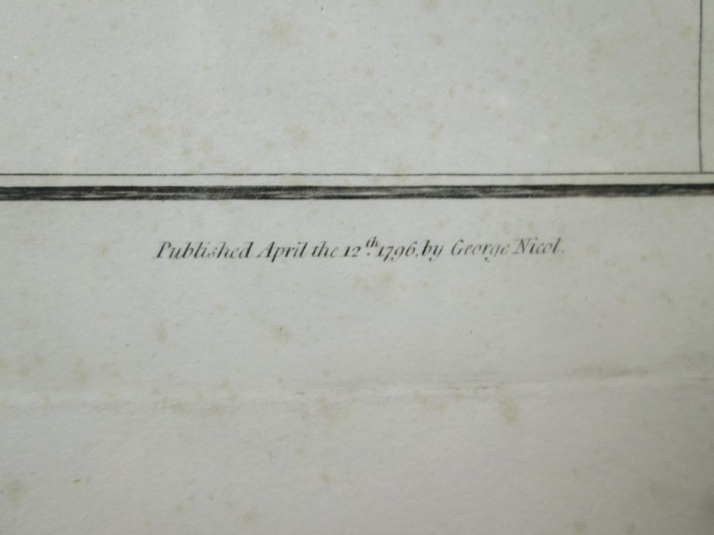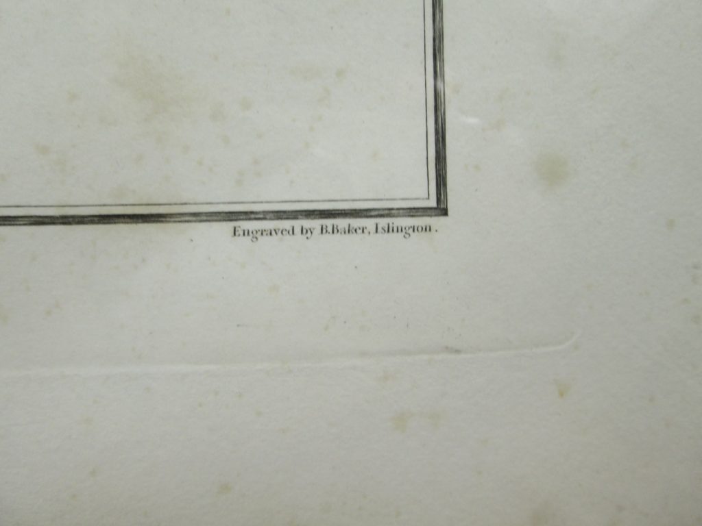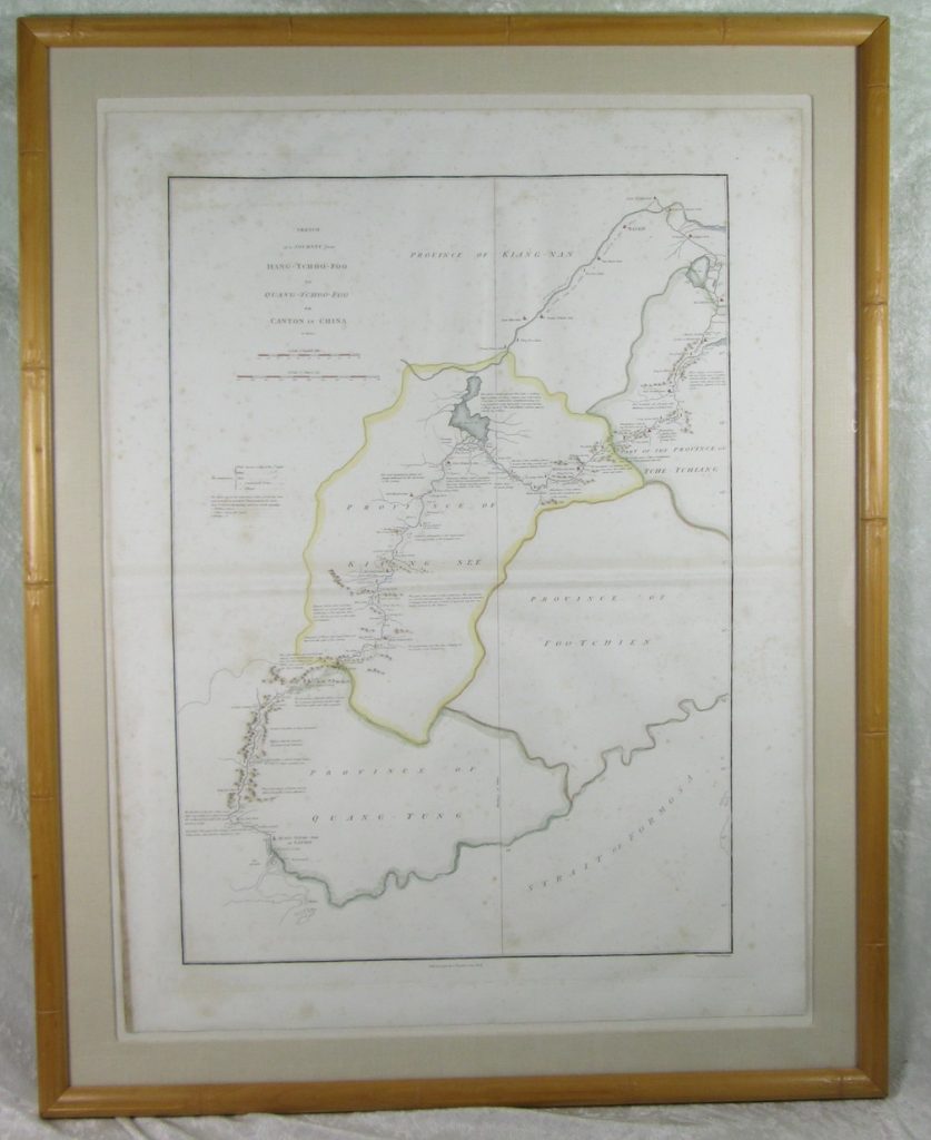
Antique Map of China and Asia printed on April 12, 1796 in the United Kingdom by George Nicol. The map was engraved by B. Baker, Islington. The map is titled ” Sketch of a Journey from Hang-Tchoo-Foo to Quang-Tchoo-Foo or Canton in China by by J. Barrow”. The map is framed under glass and has not been removed for inspection. Foxing is visible on the paper. The framed map measures approximately 35 inches tall and 27-1/2 inches wide and 3/4 inch deep. The map measures approximately 29 inches tall and 22 inches wide.
$1,250
For More information please contact us at
vintagedesignsllc@gmail.com